Insurdata, in collaboration with speciality insurer and reinsurer Canopius, flood risk modeller Fathom and ModEx, a catastrophe risk modelling platform from Simplitium, has released the findings of a new flood data survey that focuses on altered risk profiles in light of augmented property exposure data.

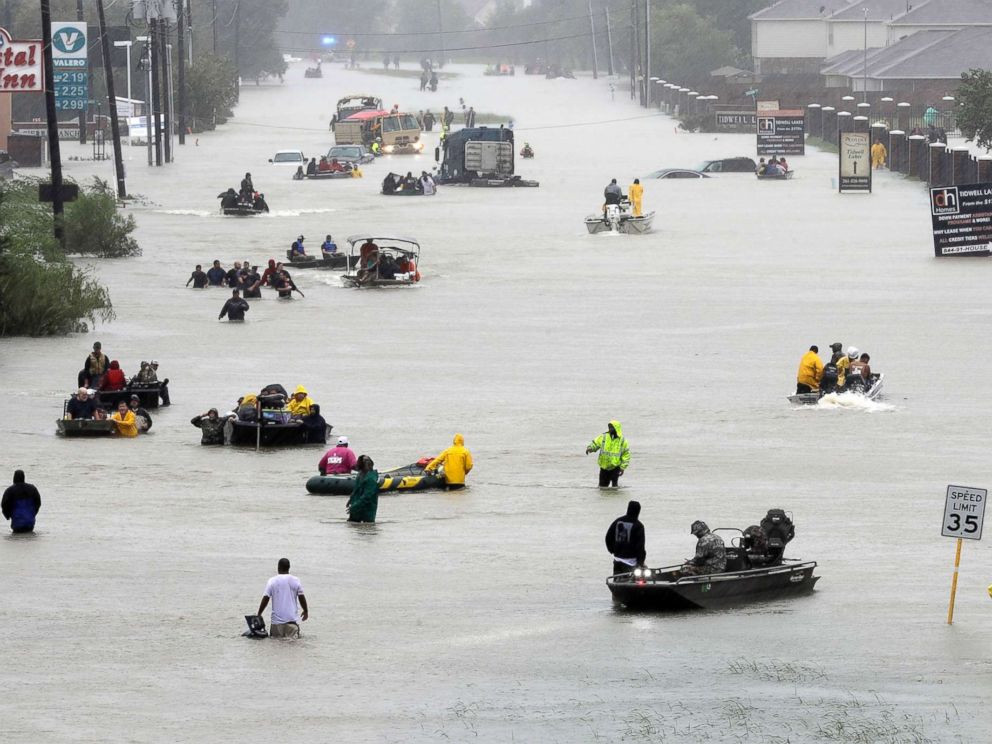
Hurricane Harvey flooding in Houston – Photo from ABC News
The report highlights a number of geocoding displacements and finds that augmented data sets have a notable impact on loss estimates.
Insurdata, an InsurTech firm that specialises in the augmentation of peril-specific exposure and risk data, explains that the study shows how augmented property exposure data changed the risk profile of an asset when modelled, and, how the new and revised data sets would impact annual average loss forecasts and also maximum event losses for numerous return periods.
Commenting on the study, Insurdata’s Chief Executive Officer (CEO), Jason Futers said: “The main aim of the study was to establish the potential impact on loss estimates at both the individual property level and portfolio level when exposure data is modelled at a much higher resolution than currently available to many re/insurers.”
To conduct the study, sample data provided by re/insurer Canopius (a typical raw data set as available in the re/insurance market) was modelled through Fathom’s flood model on the ModEx catastrophe risk modelling platform, revealing a range of geocoding displacements.
The InsurTech firm explains that the sample data was originally geocoded to a number of resolutions from building to zip code level, with the portfolio consisting of data for roughly 1,000 properties in the Houston area of Texas, with a total insured value of almost $10 billion across residential, commercial and also industrial locations.
To conduct the study, four specific data sets were created, being the initial raw location data provided by Canopius and three augmented sets which included updated goecode information, building perimeter points, as well as building attribute data (including first-floor elevation).
Once the data sets were modelled via Fathom’s flood model, geocode corrections saw a displacement of five meters of less for 384 exposures. Furthermore, a fifth of the properties experienced a geocode displacement of 50 meters or greater, while 75 locations were displaced by 1 kilometre or more, which led to an overall location displacement of 276 kilometres for the entire portfolio.
Insurdata’s analysis shows that augmented property data sets had a very significant impact on the annual modelled loss figures, as shown below:
- The revised geocodes (Set 2) resulted in an 84% increase in the loss estimate
- The addition of the building perimeter data (Set 3) reduced the increase to 76% compared to Set 1, or a 4% decline compared to Set 2
- The addition of the building attribute data, including FFE, (Set 4) saw a 2% decrease in the loss figure compared to Set 1, or a 44% decline compared to Set 3
When looking at the impact on the modelled estimates for the return period loss for a 1-in-200-year event, Insurdata’s analysis reveals the following:
- Set 2 analysis resulted in a 42% increase in the estimated loss compared to Set 1
- Set 3 analysis saw an 11% decline compared to Set 2
- Set 4 analysis continued the downward trajectory with a further decline of 37% compared to Set 3
“As the analysis demonstrates, augmenting property location information with building perimeter data and first-floor elevation measurements, rather than relying upon a single geocode and a default FFE assumption, has a material impact on the modelled loss estimates,” added Futers.
Fathom’s Chief Operating Officer (COO), Dr. Andrew Smith said: “Flooding is one of the most spatially complex phenomena that insurers have to tackle, which makes the ability to map exposures accurately critical to their ability to robustly model such losses. There is no reason why re/insurers should not be using accurate geocode data in their risk analysis.”
And Paul Wilkinson, Head of Catastrophe Management at Canopius, added: “Current market conditions and narrow profit margins are driving greater focus on risk differentiation and portfolio optimisation. The augmented data metrics generated in this study can help insurers improve risk selection and enhance portfolio makeup, support decision-making around risk quantification and policy conditions, and facilitate the development of new products and more flood-specific coverage.
“Canopius is fully committed to taking a leading position in efforts to enhance the resolution of the data which underpins our industry.”


