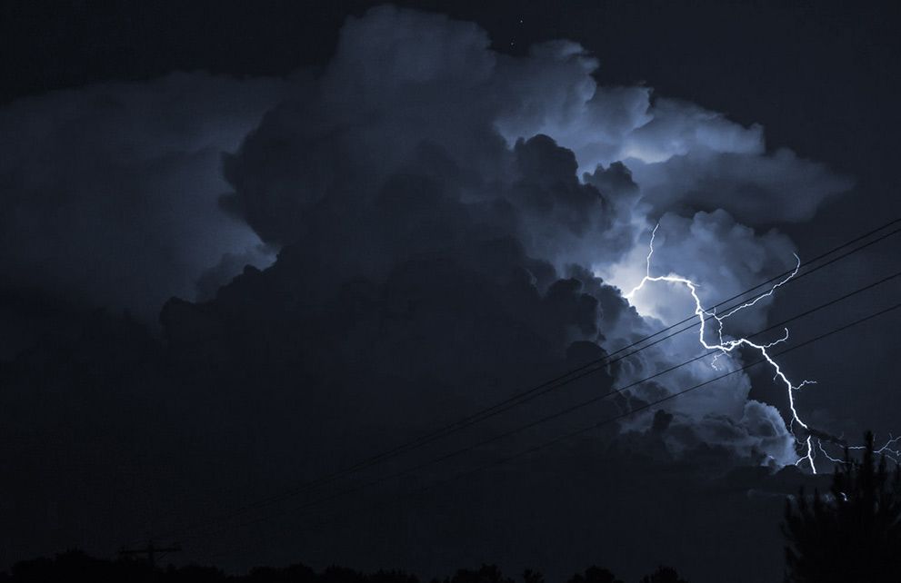

As projected, tropical storm Ian continued to intensify and has now been upgraded to a hurricane by the National Hurricane Center (NHC), with the model consensus showing a rapidly intensifying hurricane Ian reaching Category 3 or 4 strength as it heads towards the Florida Peninsula.
Insurance and reinsurance market participants will be watching closely as Governor Ron DeSantis declared a state of emergency on Saturday for the entire State of Florida, urging residents to prepare for a landfall.
Currently, hurricane Ian is a Category 1 storm with rapid intensifying expected as it heads towards western Cuba, with hurricane warnings issued for the Cuban provinces of Isla de Juventud, Pinar del Rio, and Artemisa, prompting the government to evacuate tourists amid fears of storm surges.
The NHC said that, “Life-threatening storm surge and hurricane-force winds are expected in portions of western Cuba beginning late Monday.”
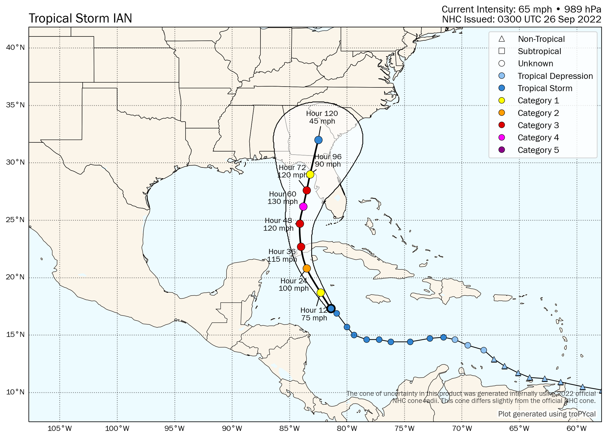
After battering western Cuba as a Category 3 storm, models currently project hurricane Ian to track north into the Gulf of Mexico towards the Florida Peninsula, potentially intensifying to a Category 4 storm as it approaches the west coast.
At this time, hurricane Ian is forecast to make landfall on the northern west coast of the Florida Peninsula as a strong Category 1 or 2 hurricane, although the NHC has said that the “uncertainty in the track and intensity forecasts remain higher than usual.”
What’s also concerning is that the current forecast cone shows hurricane Ian sitting offshore the Tampa area as major Category 3+ plus storm, which suggests the potential for significant storm surge onshore and damage from winds as the storm tracks towards its final landfall on the west coast of Florida.
The forecast model consensus was dragged west over the weekend, suggesting a landfall for the Florida Panhandle, which is seen as a scenario likely to drive lower losses for insurers and reinsurers as the region is less highly-populated with lower insured values.
However, the most recent update shows that the GFS model has again shifted towards the Florida Peninsula, which results in much higher modelled industry loss estimates given asset values and the higher density population.
See below for the latest forecast cone provided by the NHC:

Here’s one from research scientist Tomer Burg, including data on each forecast point:
According to Andrew Siffert, Senior Meteorologist at re/insurance broker BMS Group, a scenario that sees the storm rapidly intensify and shift towards a landfall further east, could result in a $15 billion to $25 billion industry loss.
“This scenario would, without a doubt, be the most impactful to the insurance industry and be similar, if not worse, than the Tarpan spring 1921 hurricane,” said Siffert. “That hurricane today would cost the insurance industry between $15 and $25B in the loss. This scenario would also mean the overall impacts would occur sooner on Wednesday into Thursday morning. In this scenario, Ian will also be closest to the warm Gulf of Mexico loop current. It would travel over some of the warmest waters in the Atlantic Ocean and still be in a moist, low-wind shear environment, thereby allowing Ian to be stronger.
“The ECMWF model at this time has a peak intensity at landfall of 112kts (128 mph), with a central pressure of 957 MB. This would be a solid Category 3 or 4 hurricane at landfall.”
Below is a modelled intensity guidance output from TropicalTidbits: