As wildfires increase in frequency and severity, Liberty Mutual Reinsurance and ICEYE, a provider of satellite-based disaster management solutions, have partnered to launch a new parametric wildfire insurance solution.
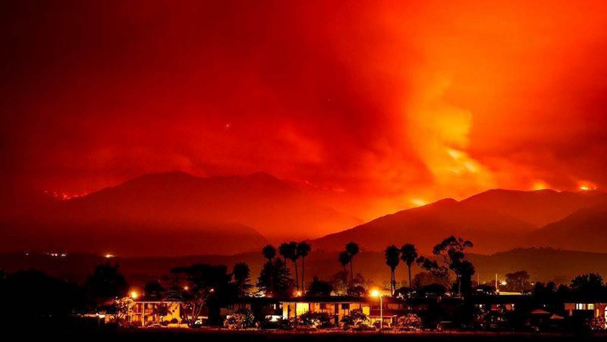 This collaboration addresses the urgent need for faster risk solutions for wildfire-prone communities, leveraging high-resolution satellite data to provide immediate, rapid payouts and address critical protection gaps.
Liberty’s remotely sensed parametric property wildfire solution enables a rapid response, providing immediate access to liquidity when it is needed most.
The solution is initially available in the US and Australia, where wildfire exposure is particularly high, but targeted to expand together with ICEYE’s product scope expansion.
ICEYE’s global constellation of Synthetic Aperture Radar (SAR) satellites serves as the foundation of this solution, offering continuous monitoring of wildfire-affected areas.
These satellites are capable of capturing high-resolution imagery through smoke, at night, and in all weather conditions, ensuring reliable and uninterrupted data collection.
Following a wildfire event, SAR imagery is combined with detailed property footprint data and advanced automated machine learning algorithms to deliver an objective, building-level damage assessment.
This process classifies every insured property against a predefined criteria, as either “destroyed” or “undamaged,” with results that could be delivered within hours.
This transparent, binary approach removes the need for site visits, loss adjusters, or subjective assessments. Instead, it enables fast and consistent evaluations at the individual property level, triggering payout procedures within days when agreed parameters are met.
Leveraging this technology, Liberty’s parametric wildfire cover offers scalable protection that complements traditional insurance.
It serves a wide range of clients, including homeowner associations, residential communities, municipalities and public risk pools, as well as owners of critical infrastructure and re/insurers looking to mitigate residential and commercial property wildfire risks.
Jean-Christophe Garaix, Head of Parametrics & Agriculture at Liberty, said: “By pushing the boundaries of technology, we are delivering a new generation of parametric wildfire coverage that is faster, more responsive, and fully data driven.
“Our property wildfire cover is remotely sensed and designed to address the growing threat of wildfires, providing reliable protection alongside traditional insurance that allows for more efficient claims settlement.”
Anke Sielker, Head of Reinsurance Solutions at ICEYE, added: “We are delighted to be working with Liberty on this ground-breaking solution. Built on rapid and verifiable observation data from our SAR satellite constellation, this offering provides quick confirmation when agreed loss parameters are met. The result is fast, precise, and consistent damage assessments at the individual property level, and can be deployed in high-risk areas to support multi-asset portfolios or regional programs.”